
Technology
Advancing our flight, acquisition, point cloud generation, and analysis technologies, and integrating and optimizing them as a single continuous workflow.
FEATURE 01 Flight Technology
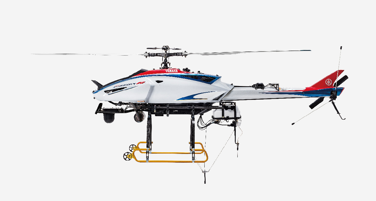
In-house developed unmanned helicopters
Having developed industrial unmanned helicopters in-house for many years, Yamaha Motor has accumulated extensive expertise in airframe structures, engines, rotors, and flight control. Years of proven operational experience with the aircraft, combined with its high payload capacity, enable seamless integration of LiDAR, cameras, sensors, communication equipment, and antennas to support a wide range of survey requirements. Flexible system configurations tailored to the target and operating environment support a wide range of aerial surveying applications.
Flight control and communication technology
Advanced flight control technology regulates the aircraft’s speed, altitude, and heading, enabling it to follow planned flight lines accurately while maintaining the required height above ground, even in mountainous terrain. Multiple communication options, including satellite communications and mesh networks, support stable connectivity and BVLOS operations outside LTE coverage areas. If communication is lost, the aircraft can automatically return to its designated location, supporting safe and reliable aerial surveying.
Operational structure
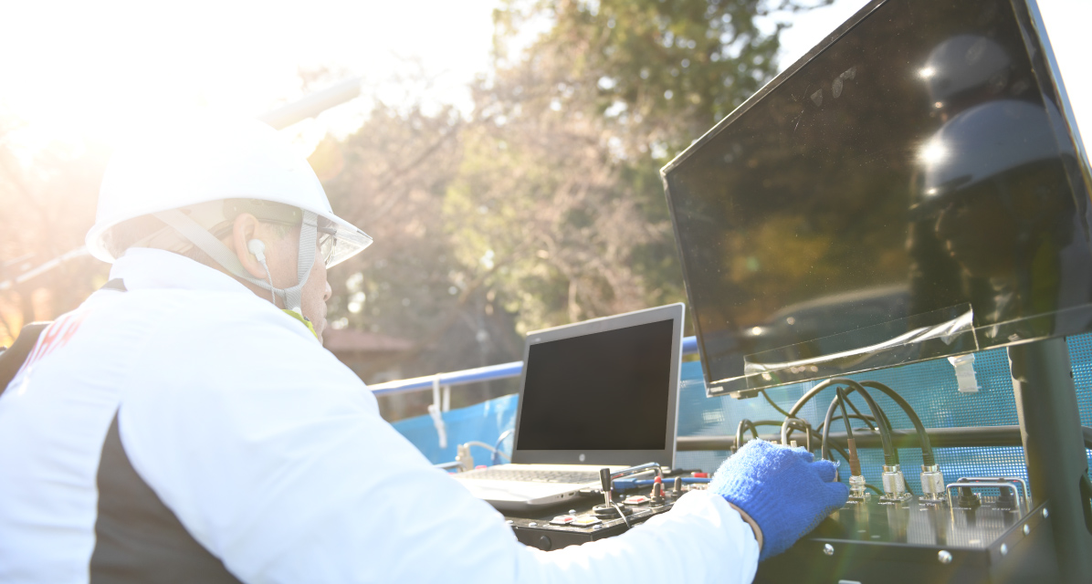
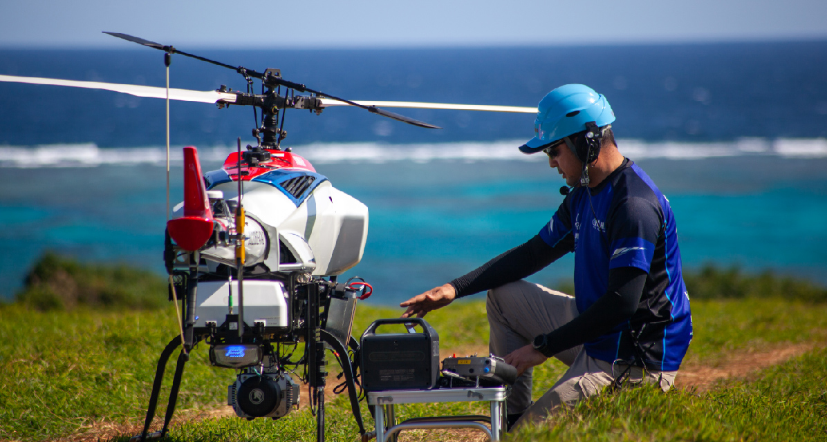
Through some 40 years of operating industrial unmanned helicopters, we have developed the expertise and risk assessment criteria that underpin safe, stable flight. Before surveying, we check the terrain, the surrounding environment, weather conditions, take-off and landing points, and flight routes, and select the aircraft and operating method in light of local regulations and the surrounding environment. Licensed professional pilots then carry out the survey safely and reliably, judging conditions on site. An integrated operational structure, from aircraft inspection and maintenance to personnel development, supports consistent survey quality.
FEATURE 02 Point Cloud Acquisition & Generation Technology
Sensor configuration matched to acquisition conditions
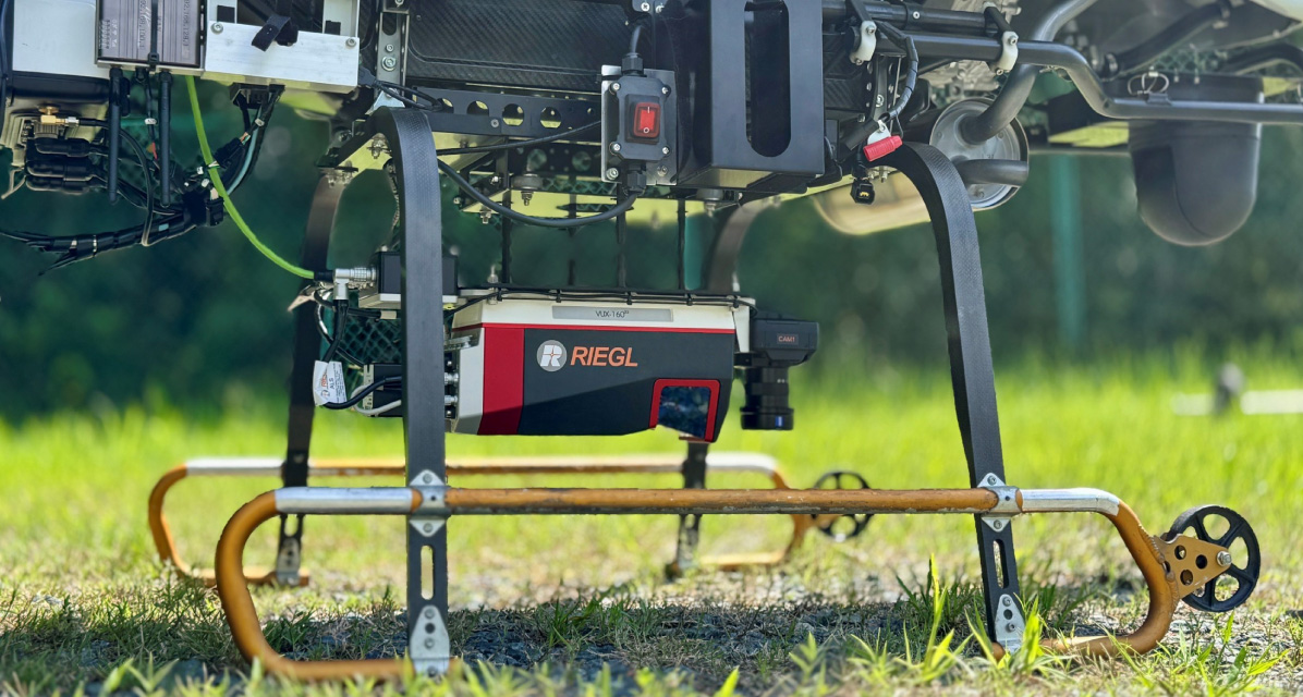
We use industry-leading, high-performance LiDAR sensors with a field of view of 100° across-track and ±10° along-track, and a pulse repetition frequency (PRF) of up to 2,400 kHz, delivering high-density laser coverage. Multi-return recording captures not only returns from the canopy and ground surface but also intermediate returns from branches, leaves, and understory vegetation, resolving the forest interior in detail. To draw out the sensor's full performance, we optimize sensor mounting and LiDAR settings based on acquisition parameters such as flight altitude, speed, and flight lines. Drawing on configuration expertise built through forest surveys in Japan, we tune the sensor to the data required, achieving high-quality acquisition.
Point cloud generation and adjustment matched to acquisition conditions and deliverables
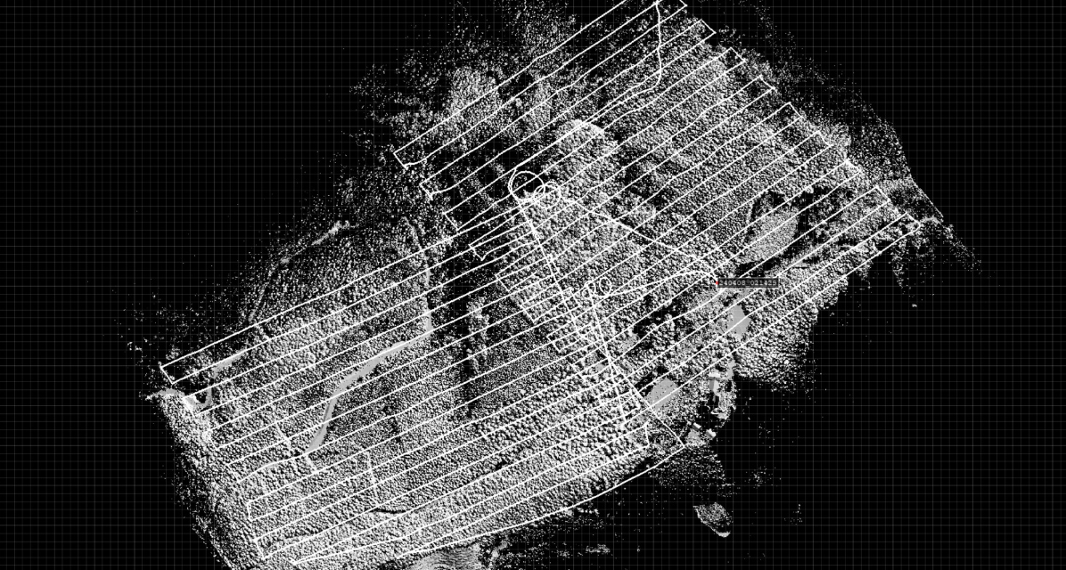
Position and orientation data from a high-performance GNSS/IMU system are processed to generate a high-precision point cloud while minimizing trajectory errors. Processing parameters are set appropriately, and poor-quality satellite signals and noisy observations that would introduce error are excluded. Discrepancies between overlapping flight lines are resolved by strip adjustment, and where required, alignment to ground control points (GCPs) can also be applied. Point cloud generation parameters are optimized to acquisition conditions such as flight altitude and pulse repetition rate, so that the acquired data is used in full and the required information is generated as a high-precision point cloud.
Accuracy evaluation and quality control based on identified error sources
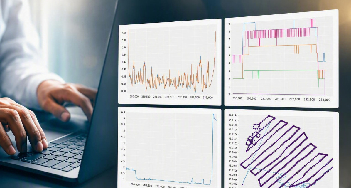
For the generated point cloud, we examine the various factors that affect accuracy—GNSS reception conditions, the satellite constellation used, aircraft attitude, and others—and identify the sources of error. Positional accuracy is validated by comparing the point cloud against independent check points established in the field, and where systematic discrepancies arise, correction by offset adjustment can also be applied. Alongside the accuracy control procedures used in public surveying work in Japan, we apply quality control thinking cultivated in our own manufacturing operations, maintaining consistent accuracy control from acquisition through processing to the final deliverable, and assuring the quality of high-precision, reliable 3D spatial information.
FEATURE
03
Data Analysis &
Visualization Technology
Large-scale point cloud processing
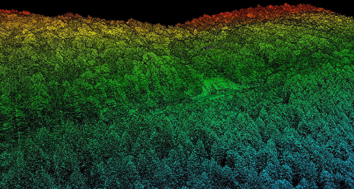
In airborne laser scanning, the wider the area and the higher the density, the larger the resulting point cloud becomes. We have built proprietary processing technology that handles such large data volumes efficiently. Even large datasets can be processed while preserving accuracy and detail, enabling efficient downstream classification, information extraction, and generation of 3D spatial information.
Point cloud classification and information extraction
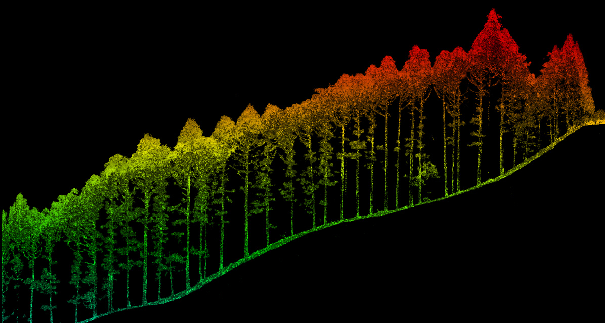
We have developed proprietary algorithms that classify and extract the features required for analysis from large point cloud datasets. After noise removal, ground filtering extracts the ground returns and separates them from non-ground returns. From the complex point cloud of the forest interior, proprietary algorithms and machine learning then detect stems and crowns to delineate individual trees.
 Contact us
