Japanese nickname: Shutoko
The inspiration people seek: The Shutoko is something that presents you with a completely different impression depending on the time you set out on it. Being the one at the controls or being the passenger also results in quite a different image.
Read more
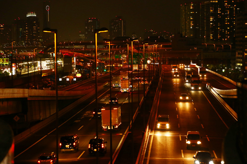
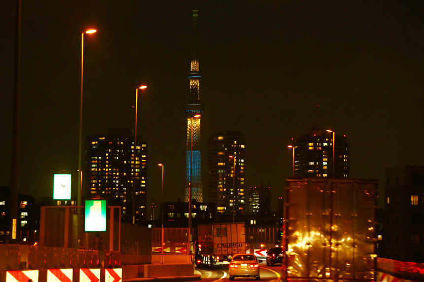
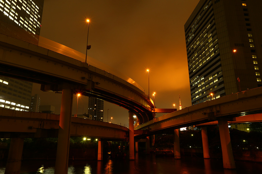
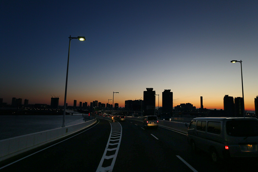
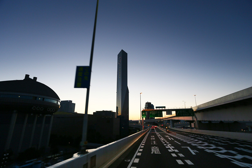
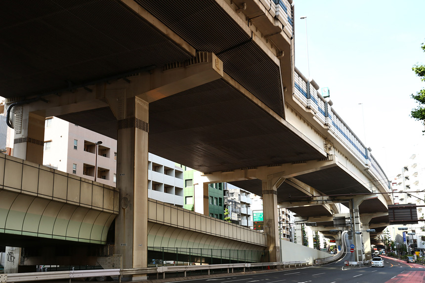
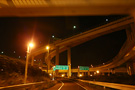
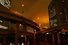
If you’re able to head out on the Shutoko in the dead of night and stay on it until the rays of dawn begin to break, it’s akin to piloting a jet along intricate flight paths. The Shutoko winds through densely packed buildings constructed among the hills and rivers of the cityscape, and the seemingly endless curves and elevation changes will easily cause you to lose your sense of direction, regardless of the kind of rider you may be. You won’t care though, because the scenery and afterimages of the neon signs going by is a memory not easily forgotten.
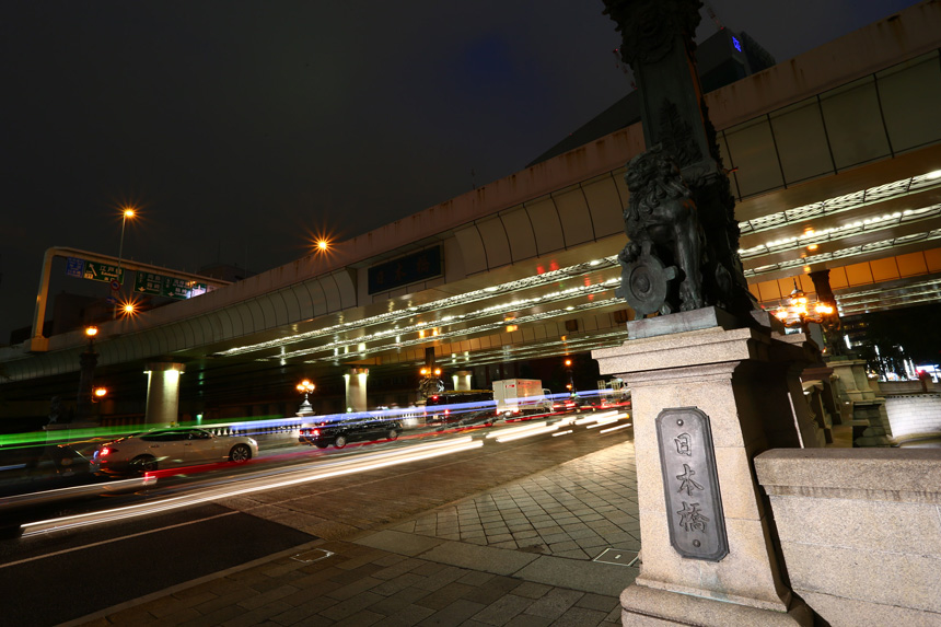
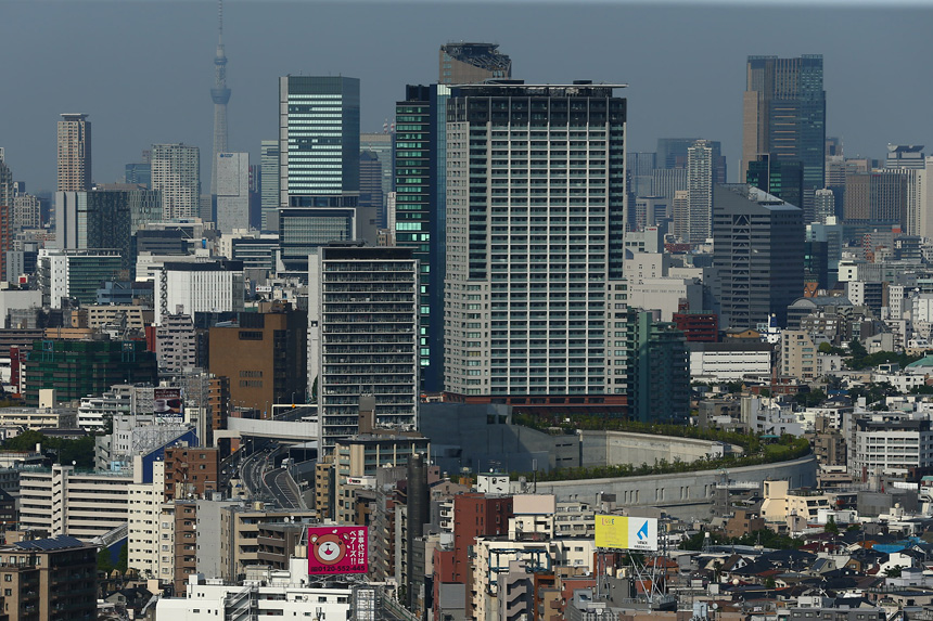
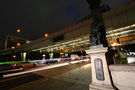
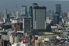
If you’re a passenger (unfortunately, motorcycles with tandem passengers are prohibited on the most attractive areas of the Shutoko), it’s possible to get a picture of Tokyo in its entirety in one tour. If you have just two hours, you can fully enjoy the unique view only the Shutoko can give you of the city—and can’t be seen from the ground or in the air—like the high-rise structures of Tokyo’s two towers and Roppongi Hills, a fully lit Rainbow Bridge and Yokohama Bay Bridge, and Tokyo’s iconic areas of Nihonbashi, Ginza, Roppongi, Shinjuku, Shibuya and Ikebukuro.
If you ask the riders (and drivers) that “know” the Shutoko what it’s like, you’re almost guaranteed an answer saying, “Oh, it’s fun. Try it for yourself and you’ll see what I mean.”
In short: Its full and official name in Japanese is the Shutokosokudoro (Tokyo Metropolitan Expressway). The system’s pavement stretches for some 300 km, has over 20 named routes and runs through Tokyo’s various wards and into the surrounding areas (including parts of Kanagawa, Saitama and Chiba Prefectures).
Read more
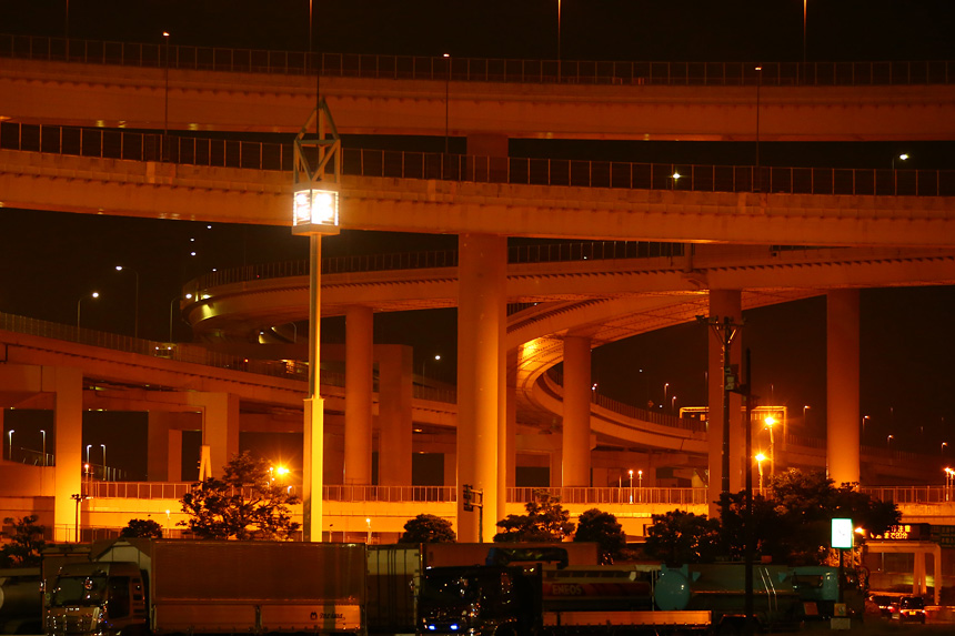
The system is primarily made up of the Shutoko C1 (Inner Circular Route) looped line that runs within a radius of 3 km from Tokyo’s city center and forms the “heart” of the system, the various lines that branch out every direction, Shutoko C2 (Central Circular Route) that forms the second concentric loop line and the Wangan (Bay Shore Route) that connects the bayside areas of Tokyo, Kanagawa Prefecture and Chiba Prefecture. Many of the branch routes lead to the main expressways connecting Tokyo to other regions in Japan, thus serving as the nucleus of the country’s expressway network.
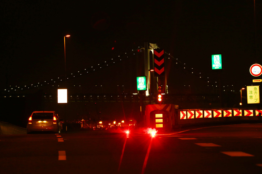
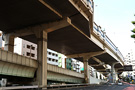
Some sections run above the city’s canals, rivers and Tokyo Bay, and others over Tokyo’s primary road arteries. In fact, elevated sections and tunnels (subterranean and semi-subterranean) form over 90% of the overall Shutoko network, and some of its greatest features are the complicated route junctions and entrance/exit ramps (unlike regional highways in Japan, Shutoko ramps aren’t referred to as “interchanges”) that dot the various routes.
Some background: It’s often said that the Shutoko was constructed as part of the plans to host the previous Tokyo Olympics in 1964, but actually the idea was first proposed in 1938. Japan’s rapid postwar economic growth turned Tokyo into a maze of traffic bottlenecks where it was said that, “the cars drive as fast as the pedestrians walk.” To clear the bottlenecks, the government approved a construction project plan referred to as the Kuchuu Sakusen (“Aerial Strategy”) among those involved.
Read more
The short 4.5 km strip of expressway running between Kyobashi and Shibaura was opened in 1962 (Showa 37), only two years before the Tokyo Olympics were to be held. In just 21 months after that, construction extended the road to Haneda International Airport (the “front door” to Japan at the time) and the city center, as well as to Meiji Jingu Gaien and Yoyogi—where the Olympic venues and athlete housing were located—and finally ending at Shinjuku. The road not only greatly contributed to the success of the Olympics but also changed the face of Tokyo completely.
In 1968, a line connecting Yokohama and Haneda Airport (today’s Shutoko K1) opened and signaled the Shutoko’s first connection to a location outside of Tokyo. This continued with connections to the Tomei and Chuo Expressways being completed in the 1970s. Since then, the Shutoko has been continuously expanded and updated as one of the cornerstones connecting Japan’s regions in the expressway network (the battle to reduce traffic jams continues, however).
The Shutoko represents the modernization of Japan’s road network and has over 50 years of history. It’s one of the three oldest road networks in the world, and has influenced the design and construction of metropolitan expressways in numerous countries with the technology behind its design and engineering and the knowhow in its maintenance and management.
 Shutoko